Caherconree
Caherconree (835m)
Watch on YouTube
Caherconree is in the Slieve Mish Mountains just outside Tralee, Kerry, Ireland. Google Maps
The first few times up to Caherconree was via the Derrymore Valley, parking at Q742 107.
This is a spectacular hike up with the impressive Gearhane towering over you the whole way up, but the pull out the back of the valley is tough going, for me at least. Since then, its been from the main “tourist” route, parking at Q716 056, which i would recommend.
The mythology surrounding the Promontory Fort is intriguing.
Voices from the Dawn is a great website with loads of relevent info about the place.
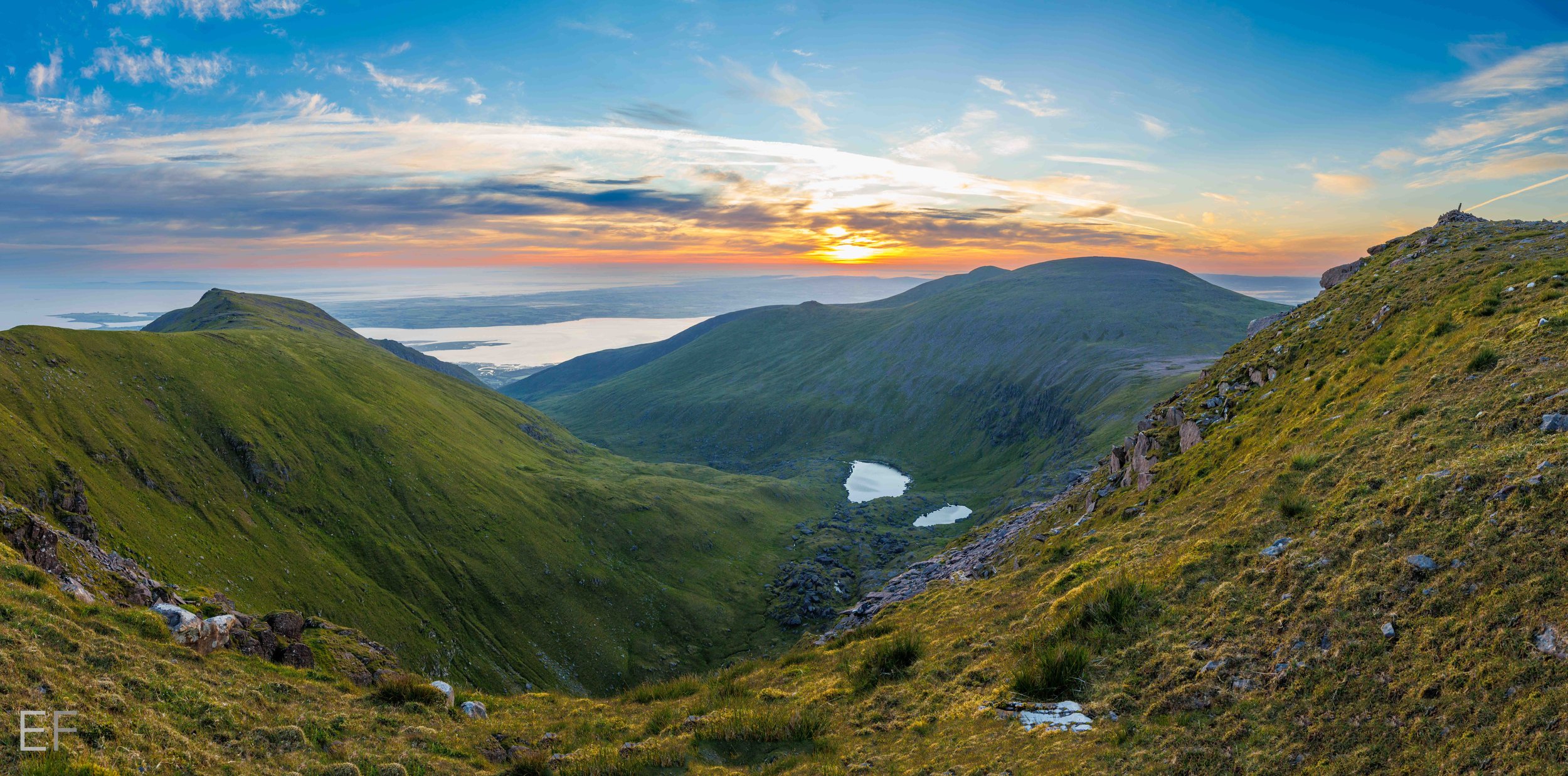
The hike up itself is pretty straight forward. It can be a bit wet on the lower section, but after that it’s plain sailing up a fairly well defined path to the Promontory Fort. From the fort itself up to Caherconree summit is just open hillside with great views to the left as you go up and the Reeks in the distance on the right. Just don’t go too close to the edge even tho there are some great overhangs for that final selfie you’ll ever take….
There are other peaks accessible from here also, Gearhane, Baurtregaum, Baurtregaum N & NW, Caherbla and if you’re feeling up to it Castle Hill as well as the other peaks in the Curraheen Horseshoe.
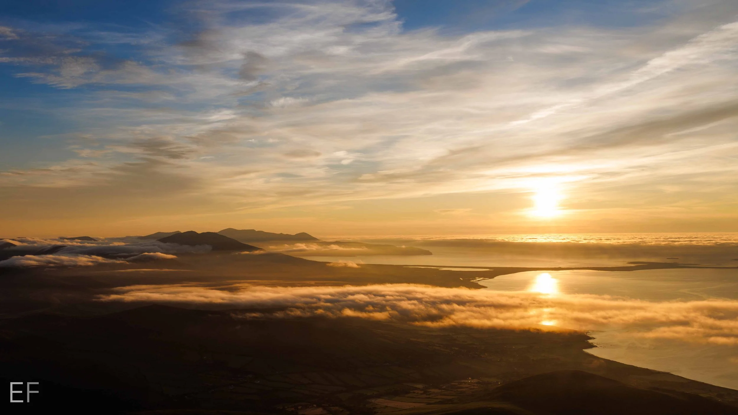
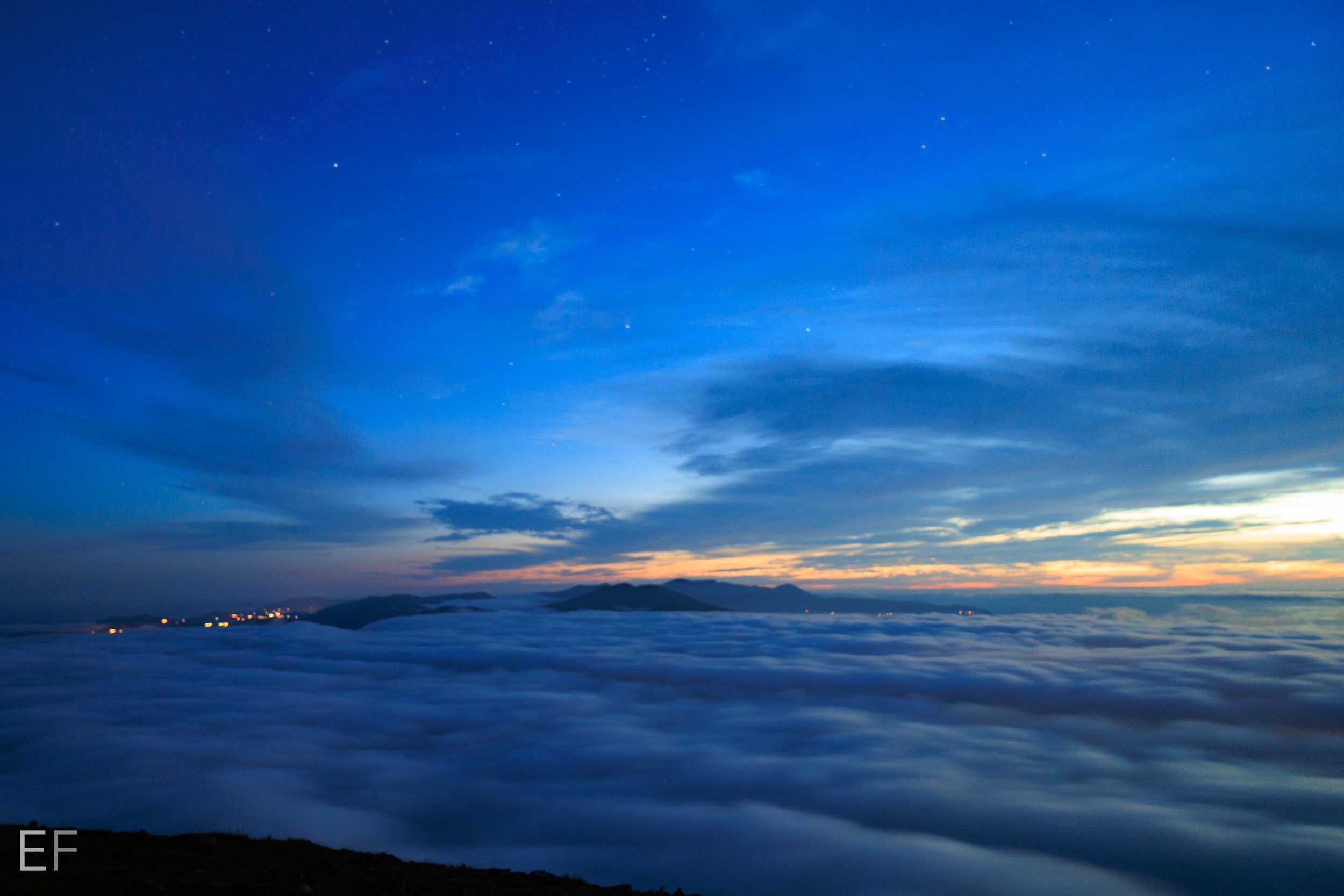
Similar to the Piaras Mór hike, i lucked out and got another cloud inversion. This was the 2nd consecutive weekend. I should have done the lotto. The weather again was perfect up at the top.
Thanks for reading if you’ve got this far,
Not as epic a hike as some of the others, but just as enjoyable.
I mentioned above about doing the Derrymore Valley route, we did it in February with some light snow. The wind from Caherconree to Baurtregaum was brutal. so there werent any pics from that outing. I suppose what i’m saying is that while i am showing nice images here , there have been a number of trips to here when the weather has been not great at the top. Just a public service announcement…


